Saturday, October 18, 2014

South Dakota reprise


Another beautiful day for driving around --- kind of windy, but more from the south than the east so didn't impede driving progress too much. Again, I was impressed with the geography of South Dakota -- until you get to the eastern part, which is pretty blah...


Shy roadside antelope, might have been Wyoming or South Dakota?
I drove from Lusk, WY north into the Black Hills, so called because of the dark green spruce trees that cover their slopes and make the hills look "black" in the distance. Although a bit off the direct route between superchargers, no problem seeing both Crazy Horse and Mount Rushmore on the way to charge in Rapid City.
The face of the Crazy Horse monument is done, but about a zillion tons more rock to remove before his head and his horse emerge from the mountain! 

I can see faces in the rock cliffs adjacent to Honest Abe
Between Rapid City and the next charger in Murdo there is another Scenic Byway, this one Hwy 240 through Badlands National Park. On the way out I could see some vague rocky weirdness in the distance south of the interstate, so today I took this little detour (which really runs mostly parallel to the interstate, just wiggles around more) and was astonished.
I thought perhaps I had driven from South Dakota to the surface of the moon.

I honestly don't know if these colors were rocks or plants, but they were very unusual!

I did not see any bison except WAY far away, but the prairie dogs towns were right next to the road, and the little critters were popping up and down from their holes, whistling and chirping away...
I left the prairie dogs when this guy started swooping around, as I thought things might end badly and I wasn't mentally prepared for quite that much Circle Of Life this afternoon

Since the superchargers are a little further apart here and The Great Plains are kind of a windy place in general, had to spend more time at each charger today it seemed -- although it may just be that I'm impatient. Plus with 75mph speed limits you definitely use more watts than when it is 65 or 70. Should be home by tomorrow afternoon after about 4000 miles and 8 National Park stops! Thanks for following along!!

Friday, October 17, 2014

Back to Lusk!

A beautiful day to drive today -- sunny, clear, no wind, moderate temperatures, and even other Teslas at the superchargers!

I started at Moab and headed north and then east to Grand Junction. There are two ways to go -- 191 to I-70, or cut the corner with Scenic Byway 128 to I-70 -- one of those "fewer miles but more minutes" options. Well, if you ever have the opportunity, I highly recommend the Scenic Byway! You drive along the Colorado River, the road running between the river and the red cliffs, and it is indeed Scenic. My guess is that it gets busy at some times of the year -- lots of camp sites and bike paths and boat launches and even horse ranches -- but this morning I pretty much had the road to myself.

Scenic Byway 128, Moab Utah
The yellow diamond road sign collection added HORSES and HORSES WITH PEOPLE ON THEM. Across the Rockies you also see those good ones about trucks. There is the standard truck on a downward-inclined triangle "steep grade" one, but the one I like better warns trucks about curvy roads and shows the truck leaning crazily to the side with loose gravel coming out from under its tires...

On the way West I was able to skip the charger at Glenwood Springs and go straight from Silverthorne to Grand Junction (all down hill), but today I stopped at all three. Had I patiently charged all the way up at Grand Junction I could have skipped Glenwood Springs again, which I know because there was a green Tesla charging at Grand Junction who was still there when I drove away, but when I drove into Silverthorne he was already there ahead of me! I was still glad to check out the Glenwood Springs charger site and painted on the asphalt by the supercharger were these cool icons in every parking space, kind of like the handicap icons on the spaces near the door.

Glenwood Springs
All downhill after the continental divide! 

Since you lose 2700 feet of elevation between Silverthorne and Cheyenne, despite a couple of highway accidents that made for slow going around Denver, I only used 140 miles of range to travel the 167 mile distance. A brief plug in amongst the campers in Cheyenne, and off to Lusk in the darkening night. Although they had yellow deer and elk silhouette warning signs, I almost hit two big BIRDS of all things! The first I thought was a hawk. The second looked an awful lot like at big owl in the brief look I got of it in the headlights. I asked the lady here at the Covered Wagon Motel if that was possible, and she said she often sees owls sitting on fenceposts near the road, so that's my story and I'm sticking to it!
The Cheyenne Supercharger (small white rectangular box on the right next to the pickup) is sandwiched in among camper trailers in the mall parking lot. Even the Google Map picture of the area shows the trailer array, so I don't think it is a temporary phenomenon!

Thursday, October 16, 2014

Utah

No post yesterday as I couldn't get the wifi to work in Blanding, Utah. I would like to nominate Blanding, however, for the "easiest Tesla supercharger to locate". It is right there in a parking lot 100% visible 10 feet from the highway. Yay!

I drove to the Grand Canyon yesterday morning from Flagstaff (burned 100 miles of range for the 86 mile trip) and then re-charged at the Trailer Village RV park (free if you are plugged in less than 6 hours) within Grand Canyon National Park while I hiked around for awhile. The Grand Canyon free shuttle picks you up right at the RV park and as long as you call ahead for a reservation and give them a credit card to hold it for you, it is all good! I had a full charge when I left to head to Blanding, and despite what I have read in other blogs, I was able to monitor the charging from my phone app (i.e. there was enough of a cell signal at least some of the time, mostly in the village itself). As I left the Grand Canyon and in the moments I had a cell signal, the nav system on the car said Blanding was 250 miles away, which I figured I couldn't make. So, I planned to stop at Goulding's Campground RV Park in Monument Valley, Utah, which is about 75 miles shy of Blanding.

Entering Monument Valley at sunset
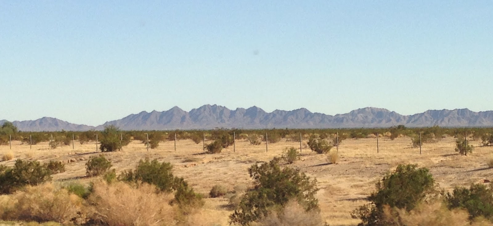
I arrived at Gouldings still with 100 miles of rated range and briefly contemplated just continuing to drive, but plugged in anyway. They charged me $10 for 2 hours of charge, but there was a shuttle van into "town" and back, a free museum and movie about the history of monument valley, and a recommendation by the shuttle driver to have a Navajo Taco on frybread at the restaurant, so all in all a great deal! I learned all about the history of Monument Valley and its relationship with the Navajo nation and also with John Wayne. I only added about 30 extra miles of charge, but on unfamiliar roads in the middle of nowhere at night it seemed like a good idea. I arrived at Blanding after burning 80 rated miles for the 75 mile trip.... This over-land route saved me about 500 miles had I followed the supercharger network through New Mexico, plus the scenery is unbelievable. When I came upon Monument Valley I thought "what the heck IS this place??"

Today was another goof around day and I only traveled from Blanding to Moab, 75 miles. However, there were a few side trips...

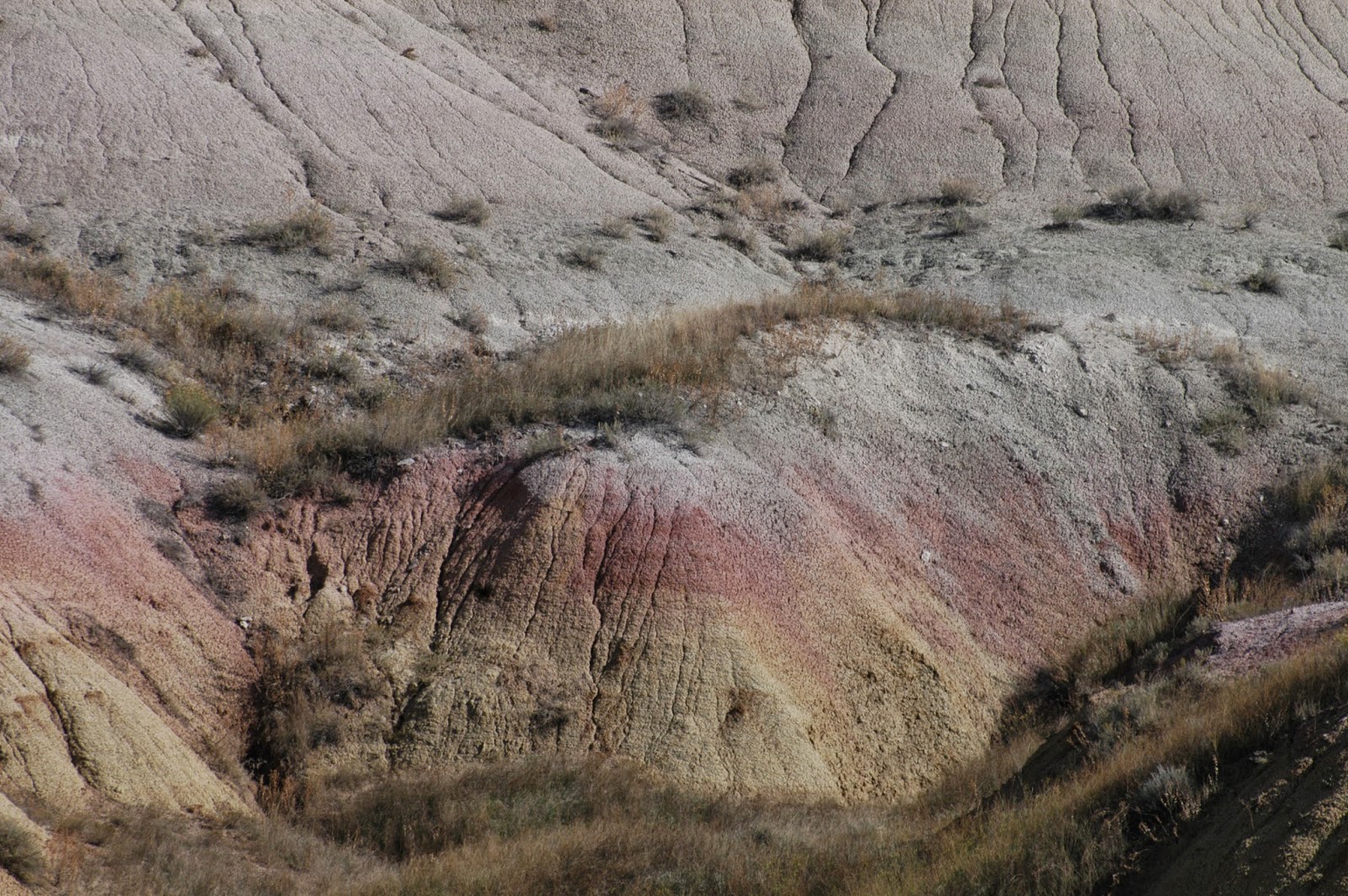
Canyonlands National Park is a gigantic park that is mostly "primitive". I visited the Needles section today. There is water in 2 places but certainly nowhere to plug in a car!! It took 66 miles of range to get from Blanding to the Needles Visitor Center (about a 75 miles trip). I then drove around in the park, including down a 3 mile unpaved road to get to the Elephant Canyon trailhead so I could hike in to look at the "needles" rock formations. The park ranger assured me "any vehicle except a big camper or someone with a trailer" could make the trip. I put the suspension on high and crept down the one-lane road, no problem. Maybe I was the first Tesla in that parking lot??? I took a photo just in case...
At the Elephant Canyon trail head, Needles Section, Canyonland National Park
The Needles of Elephant Canyon

As I was getting ready to leave, the nav list of superchargers said the Moab charger was 30 miles away. It is weird how they give the supercharger distance in terms of "as the crow flies". Once I programmed it in, really it was a 73 mile drive. Being more downhill than up, I only used 70 miles of range to get there. So -- no problem going from Blanding to Needles to Moab -- could have also gone to Arches National Monument without additional charge, but I plugged in for a bit in Moab since it was on the way.
Arches National Monument

Today and yesterday I have been noticing all of the yellow diamond-shaped signs on the side of the road. They all warn about something -- but the animal ones are interesting in the southwest. At home we see the one with the leaping deer. In the past few days I have seen lots with the deer silhouette, and also several for elk, cattle, sheep and even a mountain lion! Any mountain lion who wandered out onto the road should lose their "big cat" status!! In Canyonlands I did come across 3 wild turkeys in the road, who didn't have a sign. I was beginning to feel like there were a lot of unnecessary signs posted along the roadside until this afternoon when the reasoning all becomes clear...


 Tomorrow I start driving back to Wisconsin in earnest. Those of you trying to reach me by phone or text should have better luck tomorrow as I spend most of the day traversing Colorado.


Tuesday, October 14, 2014

Arizona

On the road again! Finished up my conference, had the car washed (the sprinklers got it at the Marriott, and the windows were really bad) and got onto "the road East" for a change!

Southern California, inland, is very hot and very dry and very desert. The brown hills are pretty (I think the locals refer to them as "golden", but that's a little like Wisconsin winters being "chilly") but I think I prefer water-containing landscapes. At least it was less than 100 today ---- only 95 when I pulled into the Quartzsite supercharger at dinnertime.


Southern California desert
There were 2 other Teslas at the charger when I arrived. I wonder if I will see any more the rest of the trip?? Certainly on the way out I only saw the one in Albert Lea (of all places) but here in California there are gobs of them. At San Juan Capistrano Sunday morning all 7 of the spots were full!

The drive through Arizona to Wickenburg was really pretty. It is also uphill, for those of you keeping track of watts and such. From here to Flagstaff, however, is > 4000 foot elevation rise, so charging up near the top to get there with juice to spare!

Tomorrow -- venturing to the Grand Canyon and then "cutting the corner" (i.e. not following the supercharger route) to Blanding, Utah. Should be beautiful!


Saguaro cactus are very cool. This is "higher desert" in Arizona near the booming metropolis of Wickenburg (where there is a supercharger right down the block from the Mariposa County Jail...)


Sunday, October 12, 2014

Bryce Canyon and Zion National Parks

After leaving the Beaver supercharger with essentially a full charge, I struck out off the supercharger path to go to Bryce Canyon National Park. This is a 68 miles drive and I drove cautiously as I was worried about remoteness and mountain elevations etc. Keeping to the speed limit, I used 76 miles of range to get to the shuttle bus stop. The shuttle bus is the way to go at Bryce -- you can only park for an hour at the Visitor Center, and inside the park itself (which is essentially a string of viewing spot along the rim of the "canyon") there is limited parking. The bus makes a continuous loop with one every 10-15 minutes during the day. I didn't ask if there was anywhere I could plug in at the Shuttle bus stop but there were lamp-posts in the parking lot that may have had at least 110...

After spending several hours hiking at Bryce I headed to the supercharger at St. George. Again, the nav on the Tesla really wanted me to go back to the interstate. Instead I wanted to go the "back way" via 89 south and then along highway 9, which cuts through Zion National Park. This was fewer miles and I thought it would be more scenic.

Well, it also is about 6000 feet elevation drop, so no need to worry re: range! I only used 80 miles of range even though I drove 127 miles. So -- total 195 miles between chargers, but actually only used 156 miles of range (250 Wh/mi). The shot below was my dashboard in Zion. This is a BEAUTIFUL drive along highway 9. Since it goes through the park you have to pay the daily park fee ($25) or have a membership card.


It this had kept up I guess I could drive to infinity and beyond.....

Normally the nav on the dashboard shows a straight blue vertical line. Loved the view of the switchbacks!
So one thing I have learned on this trip is that it is super easy and fast to go from supercharger to supercharger. By the time I had plugged in, stretched my legs, found a restroom, and plotted the next leg of the journey, I pretty much had enough range to get to the next stop. When you are heading off the beaten path is when charging time gets more tedious. Once familiar with the routes and terrain it would be much easier than the first time around to judge how much energy you need in the battery to make the trip, but waiting around 1+ hours to get up to "full" on the battery drove me crazy.

On the sightseeing side, both of these parks are spectacular and well worth a visit. In Bryce the rock formations are called hoodoos. They have easy viewing along a high ridge (elev ~9000ft) and there are various hiking routes down to walk within the hoodoos. Of course, that means you have to hike UP again to get out. On my way down, I saw various people coming up and was worried that particularly some of the older folks might not make it back up the steep paths to the rim. Then a couple of hours later when I was going up those endless switchbacks, I noticed people looking at ME with concern in their eyes. Not enough darn oxygen up there!!

Hoodoos from below, on a perfect blue sky Utah day
I think I took this one on the way back up. I tried to pretend I needed to stop frequently to take photographs or have a drink of water, not because I was so short of breath I would keel over if I took another step!

The color variation was really something
buffalo!
Also saw these 3 big horn sheep in Zion

From St. George I drove to Las Vegas to charge. I had read that charger was maybe in a dicey neighborhood. It was dark and Saturday evening when I exited I-15. My nav got mixed up, presumably because of tall buildings messing with the signal. I had to pull over and re-check the maps I had cached ahead of time and then was routed a couple of miles further. It was hard to find and I Was happy there wasn't much traffic, or it would have been even worse (since I was crawling along at 10 mph). The GOOD THING about the Vegas chargers is they are within a well-lit parking structure and the only things on that floor are charging stations, no other parked cars. There is a TESLA sign on the ramp, which is key to knowing where you should pull in. Once in the structure and plugged in, Tesla has put a nice "you are here and here are the other places to visit nearby" sign on the wall. There were a couple of other cars there charging. 

Despite this, I stayed in my car with the doors locked. I think it is good to have chargers in bigger cities so visitors will be able to charge. I also get that having the chargers close to the interstate is a better option than having to drive into town and wasting time and energy to do so. But I hope Tesla or someone else puts another supercharging station along this route, as currently you can't make it from St. George straight to Barstow (281 miles) so you have to stop in Vegas. If I never have to stop at that charging station again, it would be fine with me!

Barstow to San Juan Capistrano is an easy trip, as is SJC to Palm Desert. The JW Marriot here has 4 EV charging stations (two are 14-50) right in their parking lot, no extra charge, first come-first served. Although the new Indio supercharger is only 10 minutes away, it is obviously easier to just park here and charge all night, just like I would at home in my garage. Kudos to JW Marriott for putting these in (and it is Rock Star Parking as far as location too!)


Made it to California

Drove in to Barstow late last night. Will update more later with yesterday's astounding sights in Bryce Canyon and Zion National Parks but for those of you following to make sure I'm not dead --- well, I'm not. Going to San Juan Capistrano for lunch with my west coast brother and then "to work" for a couple of days before I get back on the road Heading East on Tuesday evening!
Red Rock Canyon, Utah

In Barstow the supercharger is illuminated with  red Tesla letters, which was SUPER HELPFUL finding them in the back parking lot!!

Saturday, October 11, 2014

Rockies

So in case anyone else is thinking of driving from Cheyenne to Silverthorne without stopping to charge in Denver --- Just Do It. I was anxious so set my cruise control at 65 for the whole trip (speed limit was 75 Cheyenne to Denver) and after starting with 258 rated miles in Cheyenne I arrived in Silverthorne with still 74 on the dial. So despite an elevation increase of 2667 feet, and watching the dashboard graph periodically tell me I was using 900 Wh/mile when on the inclines, when going downhill I was "making money". In fact, once you get to the tunnel at Loveland pass, you gain miles on the dial in the remaining 11 miles to Silverthorne.
The Supercharger in Silverthorne is a bit more scenic than the one in Cheyenne!

Since it is net down hill beyond Silverthorne, I skipped the charger in Glenwood Springs and drove straight to Grand Junction (4165 feet less elevation than Silverthorne). Probably can't do that going east but no worries going west. Although it was 181 miles of road, the car only used 161 miles of range. 

I've got two things to say. This car is SPECTACULAR to drive in the mountains. None of that push-on-the-accelerator-and-no-more-oomph-there I have experienced in other cars. It just goes. Then on the downhills instead of worrying about riding the brakes and lighting them on fire, the regenerative braking keeps you at your set speed and adds range to your battery. The only times I had to touch the brakes were when I was passing semis and they made me nervous so I wanted to turn off the cruise for a moment. All I had to do was steer.

The other thing is that driving along I-70 in the mountains is unbelievably beautiful. But probably you knew that. I just randomly aimed the lens of my camera through the car windows and pushed the button without looking through the viewfinder and fabulous images occurred.

Apparently there is a dust mote or something inside my camera though since all of the images have a black blob just off center in the left lower quadrant. Hmmmmm.


There are "fall colors" in the mountains too!

Grand Junction


I had planned to stay in Green River for the night but no motels except one that the two most recent comments in TripAdvisor were "filthy" and "don't stay here". So I kept driving to Richfield, UT where there were nice rooms aplenty. When I arrived there was, of all things, a DeLorean parked in front of the check-in door. It was all hideously tricked out and people were talking and gawking and taking pictures. I just slid past silently into the night...

I suspect the drive from Green River to Richfield would have been lovely but it was dark as sin. Occasionally a rock face next to the curvy road would loom into view and startle me. The elevation is 1300 feet higher in Richfield so takes more energy to get there than the mileage would predict. 

Chargers are hard to find in the dark. Although the Tesla map aims you to the right vicinity, they are tucked away in funny corners of parking lots and often screened by bushes or trees. I have learned to look for the fenced-in transformers rather than the thin white boxes that hold the cables.

This was in the River Museum parking lot in Green River, Utah, which is also where the superchargers are.

Saturday morning after a little sip of juice at the Richfield charger I drove down the road to Beaver. There is not much here, but the supercharger is the easiest EVER to find since it it about 10 feet from the on/off ramp of the highway. I learned that I-70 ends in the middle of Utah. Not at a cliff face or body of water. Just an ending. And that the speed limit on I-15 is 80. Sweet.


Some guy just drove up to my car, snapped a photo of me sitting here charging, and drove away. He didn't stop for a car wash. He didn't even wave!


I should have put this photo in South Dakota or Wyoming. I drove past a bunch of these fields before realizing they were sunflowers. I suspect they would have been really something a month or two ago but now all had bent heads and looked somewhat forlorn...

Fog

Awoke in Lusk this morning to a fog advisory from here to Cheyenne. Must say staying in the same place as the supercharger is a bonus so there is 100% charge when you wake up! The fog wasn't really so bad after about 30 minutes although not the best for sight-seeing from the road. The landscape reminded me of the old Clint Eastwood "spaghetti westerns". I was waiting to hear the "....boing...." periodically. Got to Cheyenne without trouble and plugged in for a full top-off to get safely to Silverthorne, which although it is only 166 miles away, there is a lot of "uphill" in the formula.

The charger in Cheyenne is fascinating. It is in the parking lot of a mall, like many are, but is in the middle of an outdoor "showroom" for campers / RVs. So there is a little teeny aisle allowing access to the supercharger stations hidden within maybe 50 hulking motor homes....

The Covered Wagon Motel is the home of the Tesla Superchargers in Lusk. All of the other vehicles there were pick up trucks...
Sign in the lobby at the Covered Wagon

drifting fog...

Thursday, October 9, 2014

Devil's Tower

Big Day!

After the slow Mitchell charger, nice and fast again in Murdo and in Rapid City (appropriately enough). Of course had to do a drive-by here.....

Never having driven through South Dakota before, I will tell you that although the eastern part is pretty flat a boring (like southern Minnesota) once I crossed the Missouri River it was REALLY PRETTY. I have driven through Nebraska a zillion times on I-80. I would have to highly recommend I-90 instead!!

I found myself consistently using a bit less energy than the EV TripPlanner folks predicted, so I patiently waited through a full-to-the-top charge in Rapid City and headed off to Devil's Tower. It was a little scary since it was driving AWAY FROM the next available super charger. Lovely scenery. I arrived having "burned" about 120 miles of range (150 left in the car) so theoretically I could drive back to Rapid City without a charge, but the lady at the KOA was super nice. The KOA is immediately outside the entrance to the national park. I plugged in at a 50 amp spot and walked through the ranger gate and hiked up Devil's Tower.

Well, actually I hiked up to the BOTTOM of Devil's Tower, which is a very large rock. Very. Once I got up to the Visitor Center there was a paved path which was much easier than the dirt and stick and stone one up the perimeter. There were some crazy people coming down the side of the tower on ropes which looked fun / terrifying. 

the most photographed rock in the world
I did not wait around to see what lived in this hidey-hole
or this one!
Does this look like a Ninja Turtle to anyone besides me?


Their squirrels are very light on their feet. And a different color than I'm used to!


It really is a cool surface. Apparently great for "crack" rock climbing
in case you needed a reference to see how big those "columns" are... 

After a few hours in the park, I hitched a ride back down to the KOA to find my car up to 263 miles (yay!) Curious campers wanted to hear about the car. "How'd you get that thang here all the way from Wisconsin?" "Where's the damn engine?" But mostly friendly, if perhaps lubricated with some distilled beverage...

After my escape, I consulted my maps and decided I could go STRAIGHT TO THE NEXT SUPERCHARGER in Lusk, WY rather than going back to Rapid City to charge. Woo-hoo! Big time saver. Lusk is the county seat of the least-populated county in Wyoming, which is the least populated state in the union. All I know is it was VERY DARK on Hwys 585 and 85 on the way down here, and apparently these roads are frequently closed (presumably for snow) since there were lots of signs and flashing lights and gates at various intersections making sure you didn't get yourself down the wrong rabbit hole. I have never seen so many deer at the edge of the road --- those barb wire fences did a good job of keeping the cattle out of the road, but I saw more than one mule deer leap right over, and probably slowed down 10 times in the 150 miles for deer actually crossing the road )in addition to the ones just standing nearby.) The lumpy pavement was also testament to plenty of smaller critters who had also wandered onto the highway. But the near-full-moon rise over the Black Hills was spectacular. Too bad pictures of the moon never really do it justice...